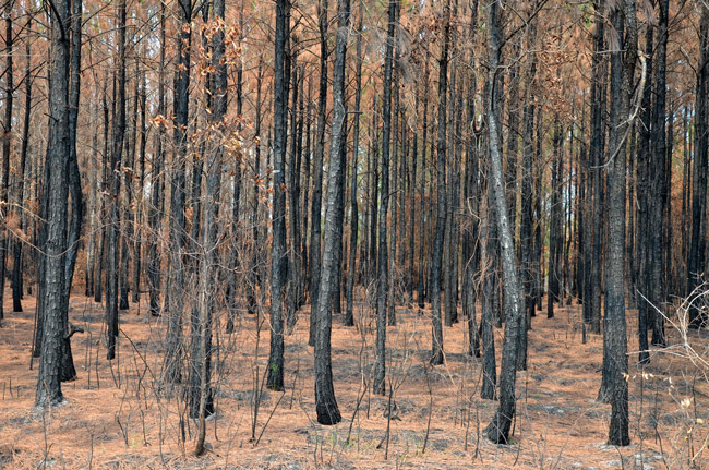
The drought index and fire danger are calculated by state and federal forestry officials indicates the current threat of wildfires based on weather factors, such as wind, temperature, relative humidity and atmospheric stability. The range of fire danger includes low, moderate, high, very high, and extreme.
KDBI – The Keetch-Byram drought index (KBDI) measures the amount of precipitation necessary to return the soil to full saturation. It is a closed system ranging from 0 to 800 units and represents a moisture regime from 0 to 8 inches of water through the soil layer. At 8 inches of water, the KBDI assumes saturation. Zero is the point of no moisture deficiency and 800 is the maximum drought that is possible. At any point along the scale, the index number indicates the amount of net rainfall that is required to reduce the index to zero, or saturation.
To check Flagler County’s drought index, click here. To check Florida’s drought index map, click here.
For different soil types, the depth of soil required to hold 8 inches of moisture varies (loam=30″, clay=25″ and sand=80″). A prolonged drought (high KBDI) influences fire intensity largely because more fuel is available for combustion (i.e. fuels have a lower moisture content). In addition, the drying of organic material in the soil can lead to increased difficulty in fire suppression.
High values of the KBDI are an indication that conditions are favorable for the occurrence and spread of wildfires, but drought is not by itself a prerequisite for wildfires. Other weather factors, such as wind, temperature, relative humidity and atmospheric stability, play a major role in determining the actual fire danger.
The index is named for created by John Keetch and George Byram, who created it in 1968 for the United States Department of Agriculture’s Forest Service. See their original paper below.
![]()
Download the 1968 Paper that Originated the Drought Index Scale


Leave a Reply