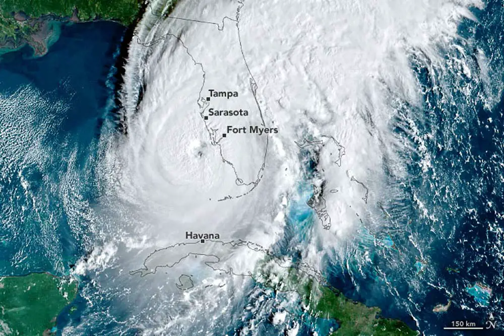
Forecasters had made preseason predictions that the Atlantic hurricane season would see fewer storms than usual, but some researchers now say above-average activity is in store.
Colorado State University announced its updated forecast Thursday. Its researchers now predict an above-average season, though they note there’s more uncertainty than usual for their outlook.
The scientists credit record warm sea surface temperatures in much of the tropical and subtropical Atlantic for their boosted forecast. The hot waters are favorable for storm formation, but they’re battling the hurricane-curbing force of El Niño, a climate phase that causes storm-slashing vertical wind shear in the Atlantic.
“Extreme anomalous warmth in the tropical and subtropical Atlantic may counteract some of the typical El Niño-driven increase in vertical wind shear,” Colorado State researchers said.
Their new forecast for this season predicts 18 named storms, with winds of at least 39 miles per hour; nine hurricanes, with winds of at least 74 mph; and four major hurricanes, with winds of at least 111 mph.
[In its previous forecast, CSU predicted 13 named storms (the average since 1991 has been 14.4), with 55 days in the next six months seeing a named storm or more somewhere (the average is 69). CSU was forecasting that six of those storms will reach hurricane strength, two of them as major hurricanes.]
Just because a storm develops doesn’t mean it will make landfall, and scientists track storms paths as they develop. The researchers made some predictions about the chance of U.S. landfalls.
25% probability
The CSU researchers say there’s a 32% probability the Gulf Coast will see a major hurricane landfall. There’s a 50% probability that a major hurricane will make landfall somewhere on the continental U.S. coastline, and a 25% probability for the U.S. East Coast, including Florida. These figures are all up from the full-season averages from 1880 to 2020.
“As is the case with all hurricane seasons, coastal residents are reminded that it only takes one hurricane making landfall to make it an active season for them,” the Colorado forecasters wrote. “They should prepare the same for every season, regardless of how much activity is predicted.”
Near-normal forecasts, like the earlier one by CSU and the May prediction from the National Oceanic and Atmospheric Administration, don’t do much to assuage fears.
“In the Gulf of Mexico, we always have the chance of getting a bad storm, no matter the year, no matter the other constraints,” LSU climate scientist Jill Trepanier, who studies extreme weather, told the Illuminator last month. “Because in the peak of the season, from August, September, and October, the Gulf of Mexico is so hot that … a storm can be created just in that warm environment and turn into a really bad storm.”
The CSU researchers make the “above-average” prediction in comparison with averages for storm activity from 1991 to 2020. They will issue another update for the season Aug. 3.
–Claire Sullivan, Louisiana Illuminator
This story first appeared in the Louisiana Illuminator, a member, like the Phoenix, of the nonprofit States Newsroom network.


Jim says
The title is misleading, what it should say is an increase from 13 to 18 storms, not “major” storms, as stated later in the article
FlaglerLive says
Sorry about the error, and thank you for pointing it out. The headline has been corrected to “named,” not “major,” storms.
Dennis C Rathsam says
Floridians are now paying the highest price anywhere for homeowner insurance. Most folks like me are stuck with Citezens. If we get hit again, there wont be enough moneies to cover the damage. God forbid this happening, but there will be a mass of folks leaving Fl. Between the insurance costs, & the outrageous taxes comming, retirees will be hard pressed to servive living in Palm Coast. And if a big storm hits, watch all those wooden stick houses and apartments, will be a thing of the past. Once again I call for tax relief for citizens over 65! We built this city, now your gonna force us to leave.